Monday 22 July 2013

21st July 2013: Two Hawkesburys

We did this walk so long ago (one of our first Geoff Mullet's) that we have no record of the date.  More significantly, neither of us remembered any of the walk.  At all.  None of it.  How's that for ageing?

Anyway, a picturesque and enjoyable stroll, rural undulating landscapes with lots of woodland, and pleasant underfoot, to the extent that we wondered why we hadn't done it more often.  A particular feature is the 'Long Combe', where the broad, gently meandering valley bottom consitutes almost half of the walk.


Great view from our coffee stop under some trees.

30th June 2013: Kelston and the Avon Valley (Faculty Walk)

http://facultywalks.wordpress.com/2013/07/03/30th-june-2013-kelston-and-the-avon-valley/

Sunday 23 June 2013

Saturday 22nd June 2013 - Wetmoor Wood

The second time we have done this.  A lovely walk, with one difficult bit where the path had been transformed by the cattle who roam freely within the wood into Paschendaele.  Except with lots of brambles and low branches.


Sunday 9 June 2013

Sunday 9th June 2013 - Bridgwater Bay

Another notch on the Mullett bedpost... 10.75 miles (or as the Moves app tells us, 11.6 miles with two diversions.. one our fault, one not, more later).  The first diversion was forced on us by a MASSIVE construction site which we wondered whether was ground clearance for a new Hinkley Point power station, but which is actually a DfE wetlands creation project.  Seriously the size of a small town.  But the path was ok and led us without any decision making to a point on the River Parrett path where we soon rejoined the original walk.

Definitely the flattest walk we have done, for which give thanks.
 Why is it called a 'hide'.  Surely the birds can see this a mile off?

 A first for us.  We didn't just go wrong, we actually ended up in an entirely different village (Combwich) which we thought was Stockland Bristol.  Just missed a tiny turning.  So we walked to the left of this wierd house, and the next building was a pub.  Oh and this was at 12.40, two hours in to a walk on a very hot day...

Conversation with barman went something like 'Wow what a pleasant surprise. We're following a walk from a book and the author says there's no refeshments at all on the way round'.  'Really, that's surprising as until recently there were three pubs in this village, now we're the only one' 'Well we're glad we found you and we'll email the author'.  After a refreshing pint of Thatcher's Gold (not you Maggie stay dead you old witch) and a half of lager for M, plus clandestine eating of our own sandwiches in their 'garden' we read the map again and realised we were in a different village, but agreed that our version of the walk was much better!
 There were lots of 'works' going on, which is partly why we missed this path, which had been turned into a bulldozer motorway.
 Power lines radiating from Hinkley Point nuclear power station.

 The final section of the walk should have had fine views over Bridgwater Bay, but there was a new barrier, rather ugly, which spoilt it a bit.
 An old chapel in Steart, which incidentally was home to a huge number of enormous chicken battery sheds.

Sunday 2 June 2013

Saturday 1st June: Buckland Dinham

Supposedly 10.5 miles, but actually 12 miles by the time we had lost our way and added a major diversion... and we didn't start till 2.30, after lunch with Mum and Val.  When we realised how close the start point of this walk was to the Red Lion at Woolverton, we couldn't resist.

An outstanding walk, with beautiful rustic views from the start, picturesque paths, lots of interest, and not too many steep gradients.  We will definitely do this again (albeit without the diversion).  The Talbot Inn at Mells is a most welcome refreshment point about 2/3 round the circuit.  Margie took lots of photos, and they show much of the beauty of the walk...


 Couldn't wait to get in the shade after a steep ascent in the sun!


 Orchardleigh Golf Course.  David Bristow RIP

 Orchardleigh Church, very pretty setting

 Trying to get some water out of the free Camel system.

When the sun was on the White Horse, it seemed incredibly big, and clear.

 Although anyone trying to land a plane would have had to skilfully steer through a flock of sheep
 We were greatly taken with half-shorn
 and with this little black lamb
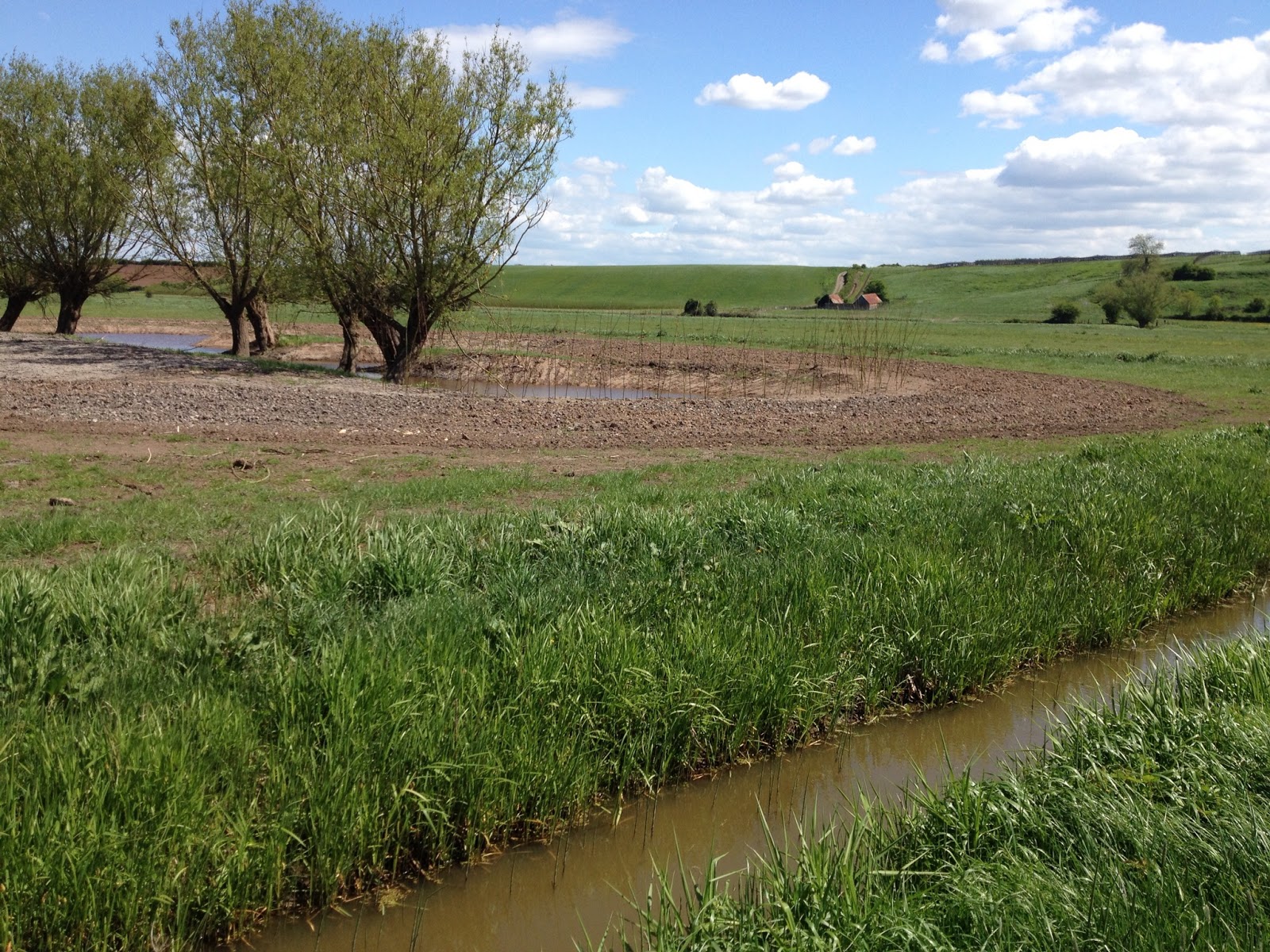
 The River Mells

 I said 'hi' to the black horse, so he started following us
 HUGE amount of wild garlic
 An old, abandoned aqueduct
 and a lime kiln

 Abandoned iron works on the outskirts of Mells

 The Lutyens war memorial in Mells
 We went through a couple of enormous fields where the path had been created by weedkiller.
 After our long unintentional diversion, we were pleased to see this building at the start of the disused railway which returned us to Buckland Dinham


An old Colliery shaft,. near the end of the walk.

Tuesday 28 May 2013

Sunday 25th May: Kelston and the Avon Valley

Another 9 miles, another Geoff.  Except not a new one, but a retread to check for the final 'Faculty Walk' to make sure that if anyone turns up on 30th June we know where we are going.  Lucky we checked...there were a few junctions that we had to think twice about, and a false start up the Round Hill...  One lovely picture of M and the view...

Sunday 18th May: The Somerset Levels

I did this 9 mile hike alone as M was in London with Claire.  Mostly very enjoyable (and flat) apart from the 2 mile stretch on the bank of the River Tone, which was overgrown with rape and rather a struggle.

 According to an update of Geoff's website, these information boards have now gone!
 Withy beds